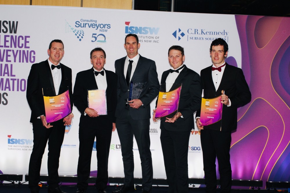
Local surveying, project management and planning firm Monteath and Powys has been named the winner of a prestigious State surveying award for its work on the Newcastle Light Rail project.
The company, established in 1950, was awarded the prestigious 2019 Sir Thomas Mitchell Award for Best Overall Project at the NSW Excellence in Surveying and Spatial Information Awards on 7 September.
The awards had close to five-hundred industry representatives in attendance at the Hyatt Regency in Sydney.
Director Ben Belfield said being recognised for the Light Rail project in this way was a huge achievement for a firm from Newcastle, particularly as it had been up against many large multi-nationals.
“This award recognises projects that have contributed to planning, designing, developing construction and/or infrastructure – at which Monteath and Powys excel,” Ben said.
“It demonstrates we are world-class in our field and it’s a huge testament to the hard work and innovation of our firm. Winning Best Overall Project basically means our work on the Light Rail Project was regarded as the best from every other project entered into the awards.”
Ben said the project wouldn’t have been possible without the opportunity Downer presented and the help of Survey Manager, Peter Sergeant and other dedicated surveyors who worked on the project.
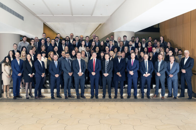
The company, which employs more than sixty professionals and experts in their fields, was also highly commended for Professional Organisation of the Year for its wide range of community projects and commitment to the industry.
Additionally, Monteath and Powys was a finalist in the Extra Dimension and Innovation category for its work on the Sydney Harbour Bridge Corkscrew.
Monteath and Powys was engaged by SMEC to map and report on the complex rock structures forming the corkscrew on ramp to the Sydney Harbour Bridge.
To do so, it created a 3D model of the rock faces which was able to be manipulated and flattened to enable the use of the model in a traditional 2D plan format.
Ben said that working on such a high-profile project was a great experience for the team.
“Completing a high-profile project of this type was fantastic for our firm and being a finalist is something our Spatial Information Manager Matt Richardson and the team should be very proud of.”
The company was also named a finalist in the Rural Cadastral Surveying and Land Titling category for work defining the Mean High Water Mark boundary of the cliff faces at Currarong on the South Coast.
Monteath and Powys created a 3D model of the rock faces using a UAV and photogrammetry – the first time this methodology had been attempted and accepted by the Land Registry Services for a boundary definition project.
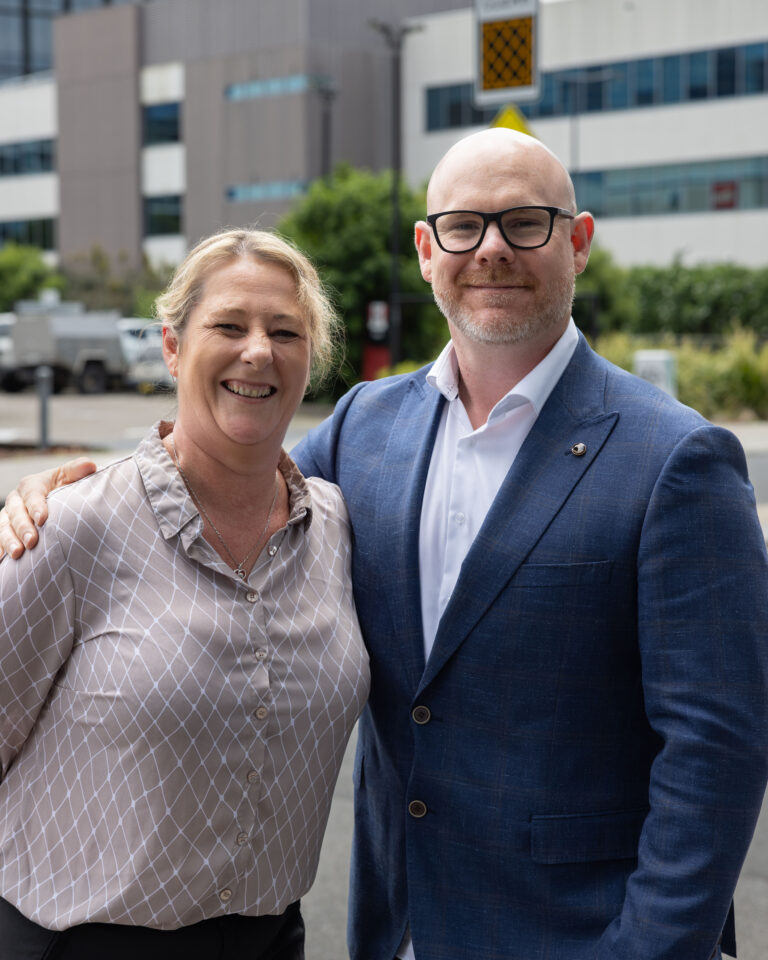
IMAGE | Monteath and Powys team accept major gong at 2019 NSW Excellence in Surveying and Spatial Information Awards

